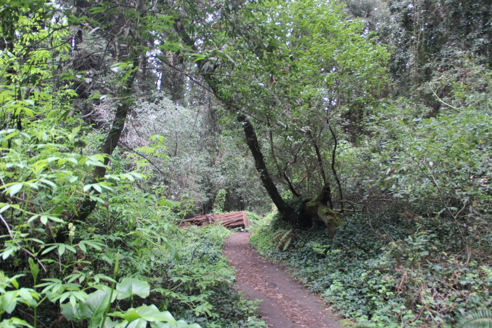
Henry Cowell Trail Map
California State Parks publishes a free Henry Cowell Redwoods State Park trail map inside the park brochure, available online and at the entrance station, and the Mountain Parks Foundation Nature Store sells a more detailed topographic map. The park has about 30 miles of trails, and the separate Fall Creek Unit has almost 20 more. The agency says routes are complicated: carry a map, because several river crossings have no bridges.
Map Facts
Where to Get the Map
- Free brochure map: the 2024 park brochure on the California State Parks page for Henry Cowell includes maps of the main unit and the Fall Creek Unit. Paper copies are at the entrance station.
- Interactive map: California State Parks links an online map of the park from the park page.
- Campground map: a separate PDF shows the campground loops and site numbers.
- Topographic map: sold online and in the Mountain Parks Foundation Nature Store, which is open 11 a.m. to 5 p.m.
Main Unit: Trails and Fire Roads
The brochure map names these routes in the main part of the park, south of Felton:
- Redwood Grove Loop Trail — the accessible 0.8-mile loop by the visitor center.
- River Trail and Meadow Trail — along the San Lorenzo River near the day-use area.
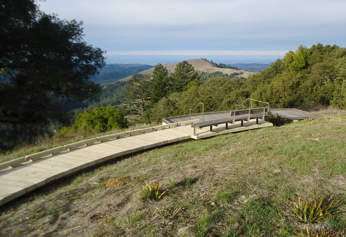
- Pipeline Road — paved and closed to cars, 3.3 miles from the day-use area up to Graham Hill Road, past the Overlook Bench.
- Eagle Creek Trail, Pine Trail and Ridge Fire Road — the climbs to the Observation Deck at 805 feet.
- Powder Mill Fire Road — from the campground.
- Rincon Fire Road, Big Rock Hole Trail and Buckeye Trail — toward Cathedral Redwoods and the river crossings.
- Graham Hill Trail, Zayante Trail, Ox Fire Road, Columbine Trail and the Rincon Connector Trail.
Places marked on the map include the John C. Frémont Tree, the visitor center and Nature Store, the park office and entrance station, the Observation Deck, the Overlook Bench, Cathedral Redwoods, Cable Car Beach, Frisbee Beach, Big Rock Hole, the Garden of Eden, the Diversion Dam and the horse showgrounds.
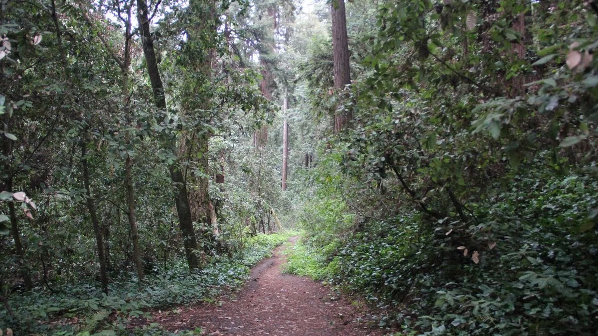
Fall Creek Unit
The Fall Creek map shows the trails west of Felton off Felton Empire Road: Fall Creek Trail, South Fork Trail, Bennett Creek Trail, Cape Horn Trail, Lost Empire Trail, Sunlit Trail and Kiln Fire Road, among others, with the Lime Kilns, the Barrel Mill site, the Powder Magazine and the Big Ben tree marked. The Mountain Parks Foundation counts 12 trails there, from 0.2 to 4.8 miles. More on the Fall Creek page.
What the Legend Shows
The legend separates accessible trails, hiking-only trails, hike-and-horse trails and hike-and-bike trails, and marks where dogs are allowed on leash, where they are not, where horses are not allowed, the horse staging area, locked gates, parking, picnic areas, restrooms, viewpoints and a seasonal bridge. Two notes are printed on the map itself:
- The railroad tracks are private property. Keep off the tracks and trestles.
- The trails down to the river are steep and slippery when wet, and there are no bridges at those river crossings.
Who Can Use Which Route
- Hikers: every trail, sunrise to sunset.
- Dogs (6-foot leash): only the Meadow Trail, Pipeline Road, Graham Hill Trail and Powder Mill Fire Road, plus picnic areas and campsites. None in Fall Creek. See dogs.
- Bikes: only Pipeline Road, Rincon Fire Road, Ridge Fire Road and Powder Mill Fire Road. None in Fall Creek or the sandhills. See mountain biking.
- Horses: not on the Redwood Grove Trail, River Trail, Ox Trail, or Pipeline Road south of Rincon Fire Road. In Fall Creek, only on designated trails.
Using the Map on the Ground
The main unit has three entrances that do not connect by road: the day-use area on Highway 9, the campground on Graham Hill Road and Fall Creek on Felton Empire Road (parking). Trails do link the campground to the day-use area; Eagle Creek Trail to Pipeline Road reaches the grove in about half a mile from where it meets Pipeline. For ready-made routes with distances, see hiking.
Henry Cowell Trail Map FAQ
Where can I get a Henry Cowell trail map?
A free map is in the California State Parks park brochure, online or at the entrance station. The Mountain Parks Foundation Nature Store sells a more detailed topographic map.
How many miles of trails are at Henry Cowell?
About 30 miles, according to California State Parks, plus almost 20 miles of connecting trails in the Fall Creek Unit.
Are there bridges over the San Lorenzo River on the Henry Cowell trails?
Not at the backcountry crossings. The official map warns that trails down to the river are steep and slippery when wet and that those crossings have no bridges; one bridge is marked as seasonal.
Which Henry Cowell trails allow bikes?
Only Pipeline Road, Rincon Fire Road, Ridge Fire Road and Powder Mill Fire Road. Bikes are not allowed in the Fall Creek Unit or the Santa Cruz Sandhills.