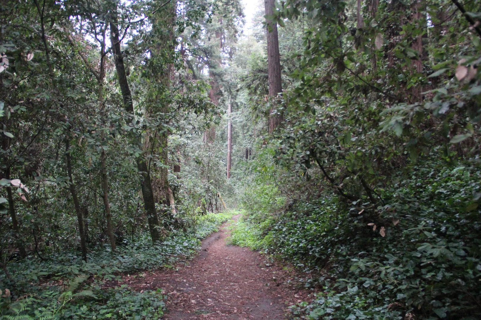
Hiking at Henry Cowell
Henry Cowell Redwoods State Park has about 30 miles of hiking trails, from the flat, 0.8-mile Redwood Grove Loop to steep climbs through the Santa Cruz Sandhills and the Fall Creek Unit. California State Parks' own picks: the Redwood Grove Loop if you have an hour, the 5-mile campground-to-grove walk if you have half a day, and the 5.9-mile Cowell Highlights Loop if you have all day. Routes are complicated, so carry a map.
Recommended Hikes
Before You Start
California State Parks warns that routes in the park are complicated and asks every hiker to carry a map. A free map is in the park brochure, online or at the entrance station, and a more detailed topographic map is sold at the Mountain Parks Foundation Nature Store. All trails close at sunset. Trails down to the river are steep and slippery when wet, and there are no bridges at the river crossings.
Watch for poison oak (leaves in groups of three), rattlesnakes and mountain lions, and check for ticks afterwards. Leashed dogs are allowed on only four trails and roads; see dogs. Bikes are limited to four fire roads; see mountain biking.
Easy Hikes
Redwood Grove Loop Trail
0.8-mile loop from the visitor center, 30 feet of elevation change. The park's most popular walk, through the 40-acre old-growth grove, and wheelchair accessible. No dogs, horses or bikes. Full guide: Redwood Grove Loop Trail.
Meadow-River Loop
About a mile on gentle ground from the main entrance. Start on the Meadow Trail just after the entrance road crosses the San Lorenzo River, skirting a meadow of sycamores, box elders and open grass where deer, coyotes and birds show up at dawn and dusk. The Meadow Trail ends at the Nature Store; come back on the River Trail, watching the water for waterfowl and steelhead. Leashed dogs may use the Meadow Trail.
Observation Deck from the Campground
About a mile round trip from Powder Mill Fire Road at the campground, 250 feet of climbing, through the sandhills to the 805-foot Observation Deck.
Moderate Hikes
Observation Deck from the Visitor Center
About 5 miles round trip, 600 feet of climbing: a mile up Pipeline Road, 0.8 miles on Eagle Creek Trail, then 0.7 miles on Pine Trail to the deck.
Cathedral Redwoods
About 4 miles with 300 feet of climbing from the visitor center. Take Pipeline Road to Rincon Fire Road, then the Big Rock Hole Trail to a circle of tall redwoods. On the way back, stop at Cable Car Beach on the river and return on the River Trail.
Cowell Highlights Loop
5.9 miles, 420 feet of climbing, from the visitor center. California State Parks' all-day pick, with redwoods, views and water. Up Pipeline Road to Eagle Creek Trail, right on Pine Trail to the Observation Deck, down Ridge Fire Road to the Overlook Bench on Pipeline Road (views of downtown Santa Cruz and Monterey Bay), then past Cathedral Redwoods and Cable Car Beach. On a warm day the agency suggests finishing with a swim.
Campground to Redwood Grove
About 5 miles round trip. Walk between campsites 82 and 84 through sandhill chaparral, take Eagle Creek Trail down to Pipeline Road, and follow it to the grove. Spend time by the San Lorenzo River and the visitor center before the climb back.
Kiln Ruins (Fall Creek)
3 miles round trip, 300 feet of climbing, from the south end of the Fall Creek Unit: Bennett Creek Trail to Fall Creek Trail to South Fork Trail, ending at Henry Cowell's limestone kilns.
Strenuous Hikes
Four Crossings
About a 5-mile loop with 600 feet of climbing, from the campground at Powder Mill Fire Road: Buckeye Trail to Rincon Fire Road to Ridge Fire Road and back past the Observation Deck. It crosses the San Lorenzo River four times with no bridges. California State Parks says the crossings are doable for most people from July to October, but if the water is above knee height, pick another hike. Storms move the crossing points each year, so bring a map.
Big Ben (Fall Creek)
About 7.5 miles round trip with 1,400 feet of climbing. Follow the Kiln Ruins route, then the Cape Horn Trail to the Lost Empire Trail for another 2.7 miles to Big Ben, a six-foot-wide redwood that escaped the axe that cleared most of Fall Creek. For a shorter visit, park where the Sunlit Trail leaves Empire Grade: about half a mile gets you to the tree, though you miss the kilns.
Good For / Maybe Skip If
Good for: short family walks in old growth, half-day loops with a river stop, and longer climbs out of the shade into the sandhills.
Maybe skip if: you want a long, quiet redwood hike without crowds. The grove is busy; the Fall Creek Unit is the quieter side of the park, with almost 20 miles of trails and no dogs or bikes.
Hiking at Henry Cowell FAQ
How many miles of trails does Henry Cowell have?
California State Parks says the park offers about 30 miles of hiking trails. The Fall Creek Unit alone has almost 20 miles of connecting trails.
What is the best hike at Henry Cowell Redwoods State Park?
For an hour, the 0.8-mile Redwood Grove Loop. For a full day, California State Parks suggests the 5.9-mile Cowell Highlights Loop, which takes in the grove, the Observation Deck, the Overlook Bench, Cathedral Redwoods and Cable Car Beach.
Is hiking at Henry Cowell hard?
It ranges from the flat, accessible Redwood Grove Loop to the 7.5-mile Big Ben hike in Fall Creek with 1,400 feet of climbing. Most recommended hikes climb 250 to 600 feet.
Do you need a map to hike Henry Cowell?
Yes. California State Parks says routes are complicated and asks hikers to always carry a map. A free map is in the park brochure; a detailed topographic map is sold at the Nature Store.