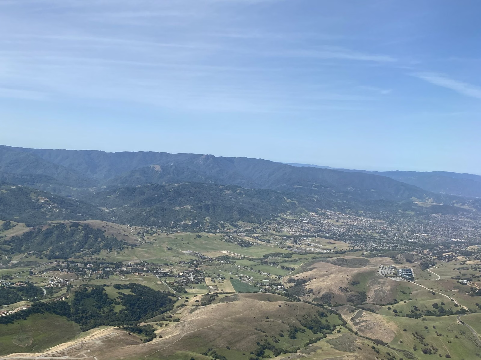
The Observation Deck
The Observation Deck is the highest point in Henry Cowell Redwoods State Park, at 805 feet, with views of Monterey Bay and the Santa Cruz Mountains. The short way up is about a mile round trip from the campground on Powder Mill Fire Road, with 250 feet of climbing. The long way is about 5 miles round trip from the visitor center, climbing 600 feet through redwoods and the rare Santa Cruz Sandhills. Trails close at sunset, so it is not a sunset viewpoint.
Observation Deck at a Glance
The Short Route: From the Campground
California State Parks calls this a gentle hike: about 1 mile round trip from the campground trailhead at Powder Mill Fire Road, with 250 feet of elevation change. The campground page puts the deck about half a mile from the campsites. It is the easiest way up if you are camping, or if you park at the campground entrance on Graham Hill Road ($10 day-use fee).
The Long Route: From the Visitor Center
For a real hike, start at the visitor center in the day-use area. California State Parks describes it this way:
- Walk about a mile up Pipeline Road through thick stands of second-growth redwoods.
- Bear left onto the single-track Eagle Creek Trail and climb a lush, spring-fed hillside for 0.8 miles.
- Just before the campground, turn right onto the Pine Trail and follow it 0.7 miles through the sandhills to the deck.
That is about 5 miles round trip with 600 feet of elevation change. For a loop instead of an out-and-back, the agency's 5.9-mile Cowell Highlights Loop continues from the deck down Ridge Fire Road to the Overlook Bench on Pipeline Road, then back past Cathedral Redwoods and Cable Car Beach; see hiking.
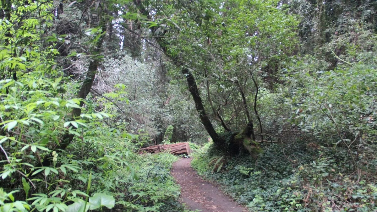
The Santa Cruz Sandhills
The deck sits in a landscape that surprises people who came for redwoods. The Santa Cruz Sandhills grow on ancient marine sand deposits. The bicycling page dates the Zayante sand soils to sediment laid down more than 15 million years ago, when the area was under the ocean, and says over 40 percent of the habitat has been lost to quarrying, housing, fire suppression and invasive plants.
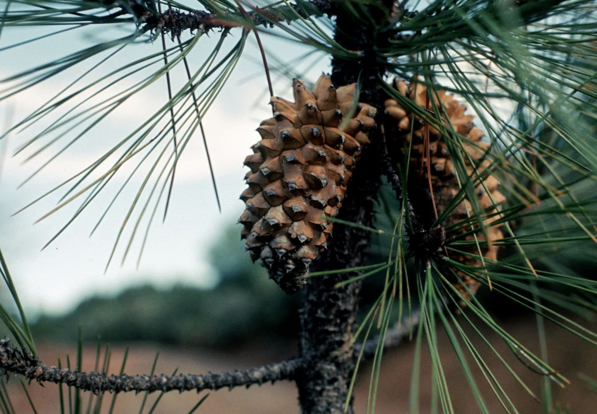
Up here you walk through ponderosa and knobcone pines. California State Parks says this is one of only five marine ponderosa pine communities in the world, and one of the few places you can see ponderosa pines below 3,000 feet. Plants and animals found almost nowhere else live here:
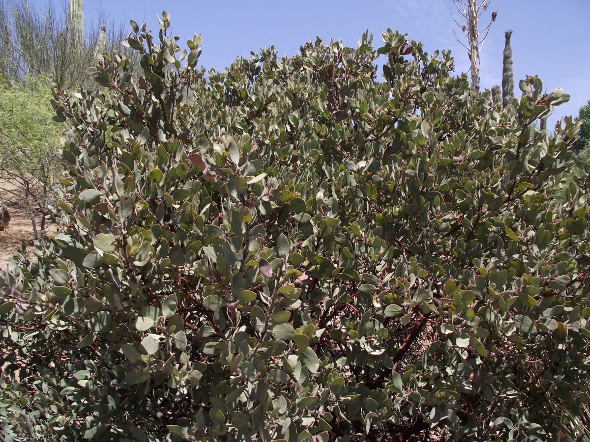
- silver-leaf manzanita, Ben Lomond spineflower and Ben Lomond buckwheat
- the Santa Cruz kangaroo rat
- the Mount Hermon June beetle and the endangered Zayante band-winged grasshopper
Bikes are kept out of the sandhills to protect them, and everyone is asked to stay on the trail.
Fire on the Ridge
Along Ridge Fire Road and the Pine Trail near the deck you can see where the park has run controlled burns. The agency explains that a century of putting out every fire let the sandhill plants and animals decline. Prescribed burns, prepared in winter and lit in winter and spring, bring fire back to the habitat and lower the risk of a catastrophic wildfire near the neighbourhoods around the park.
What to Know Before You Go
- No sunset hikes. California State Parks says plainly that you cannot hike to the deck to watch the sunset: all trails close at sunset.
- No dogs on the trails up. Leashed dogs may use Pipeline Road and Powder Mill Fire Road, but not the Eagle Creek or Pine trails. See dogs.
- Horses: riders get their own drinking fountain at the top.
- Wildlife: watch for deer and listen for acorn woodpeckers. California State Parks also asks hikers to be alert for rattlesnakes and mountain lions and to check for ticks.
- Shade: the sandhills are open and sunny compared with the redwood grove. Bring water.
Good For / Maybe Skip If
Good for: campers wanting a short walk with a view, hikers who want the park's highest point and a change from the redwoods, and anyone curious about rare plants.
Maybe skip if: you want old-growth redwoods (go to the Redwood Grove Loop) or you need a level, accessible path. The longer route is a steady climb.
The Observation Deck FAQ
How high is the Observation Deck at Henry Cowell?
805 feet. It is the highest point in Henry Cowell Redwoods State Park, with views of Monterey Bay and the Santa Cruz Mountains.
How long is the hike to the Henry Cowell Observation Deck?
About 1 mile round trip with 250 feet of climbing from the campground, or about 5 miles round trip with 600 feet of climbing from the visitor center via Pipeline Road, Eagle Creek Trail and Pine Trail.
Can you watch the sunset from the Henry Cowell Observation Deck?
No. California State Parks closes all trails at sunset, so hiking to the deck for sunset is not allowed.
Can you take a dog to the Observation Deck?
Not on the Eagle Creek or Pine trails. Leashed dogs are allowed only in picnic areas, campsites, the Meadow Trail, Pipeline Road, Graham Hill Trail and Powder Mill Fire Road.